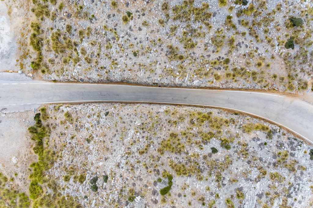
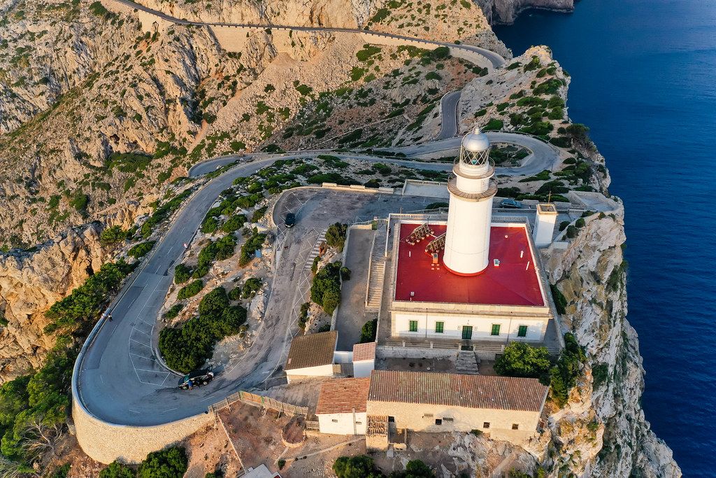
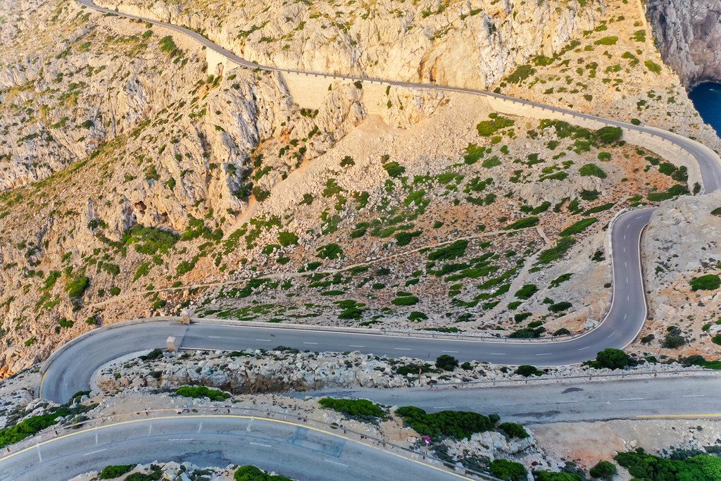
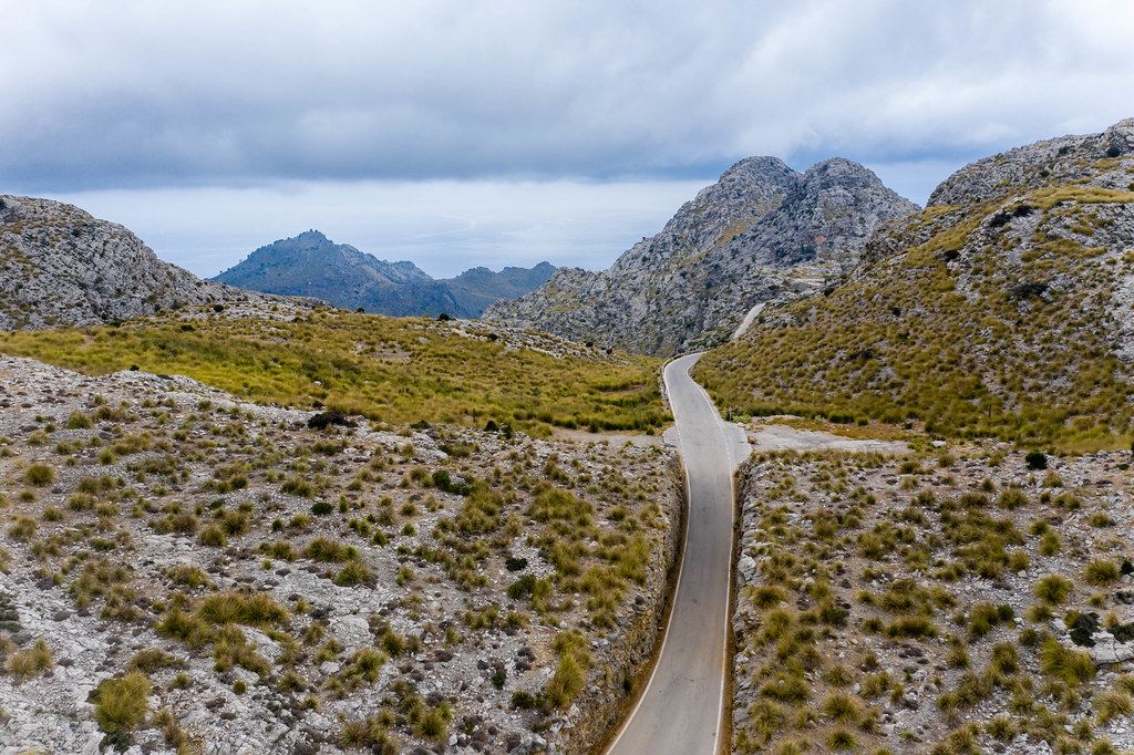
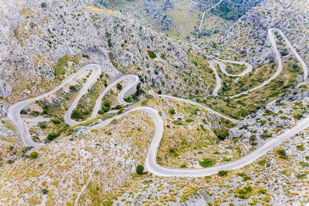
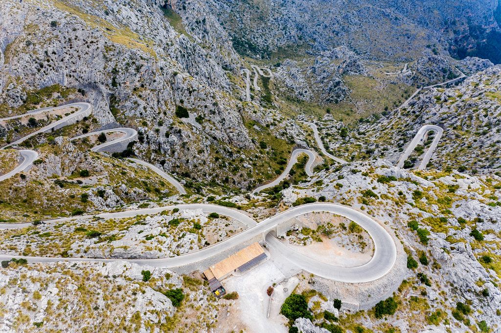
Aerial view. Hairpin turns and 360° curves of famous
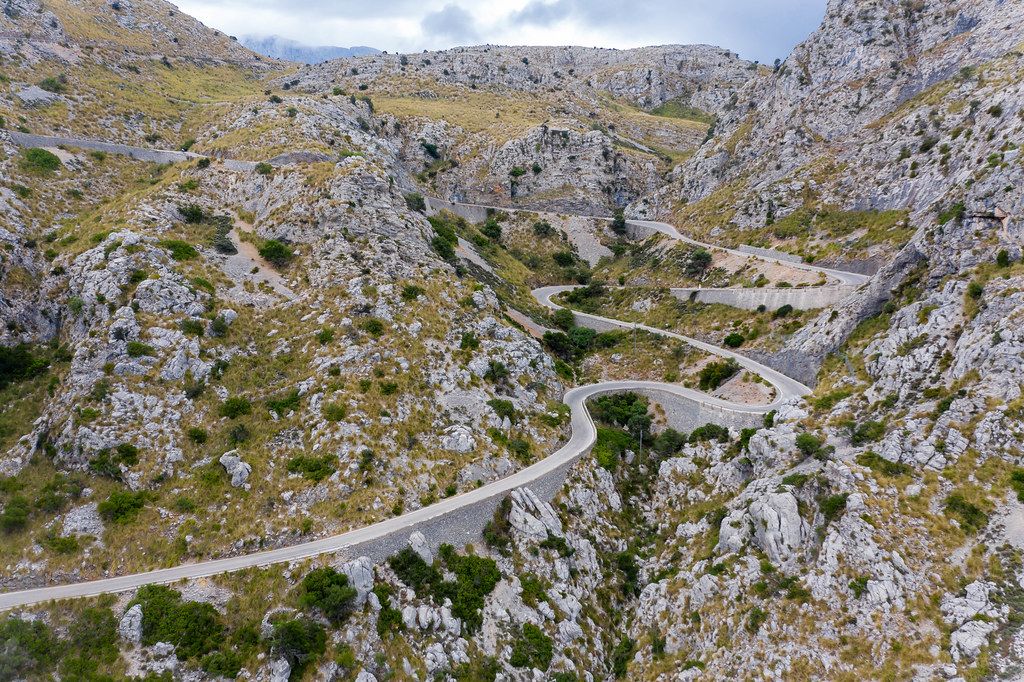
Aerial view. Hairpin turns and 360° curves of famous "snake road" in Majorca: Carretera de Sa Calobra

Lizenz-Beispiel und HTML-Code

Photo: Aerial view. Hairpin turns and 360° curves of famous „snake road“ in Majorca: Carretera de Sa Calobra by Marco Verch under Creative Commons 2.0


Fotolizenz kaufen

Möchten Sie dieses Foto für Web oder Print mit einer individuellen Lizenz nutzen? Das kann z. B. sinnvoll sein, wenn Sie aus technischen Gründen nicht auf das Original-Bild oder die Bedingungen verlinken können oder wollen.
Lizenz anfragen

Fotograf unterstützen

Ich freue mich, wenn Sie durch eine freiwillige Spende meinen Einsatz für freies Wissen unterstützen.
Spenden

Mehr Bilder zu Aerial view. Hairpin turns and 360° curves of famous „snake road“ in Majorca: Carretera de Sa Calobra:
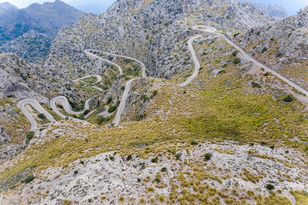
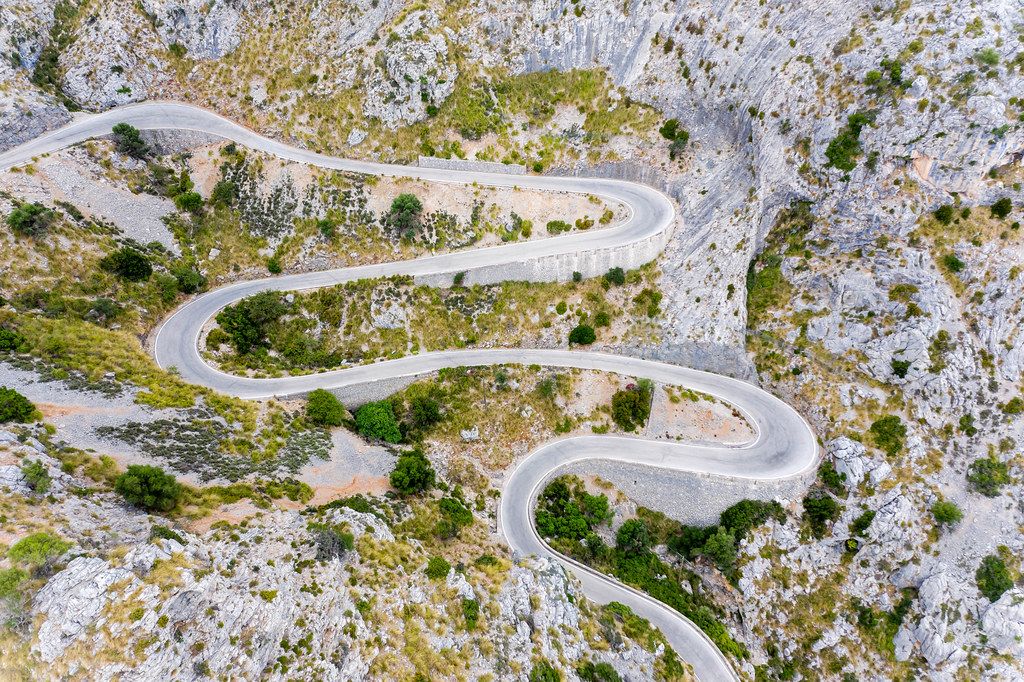
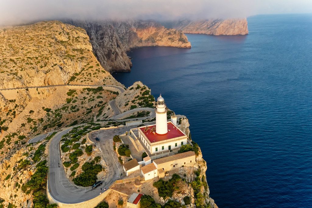
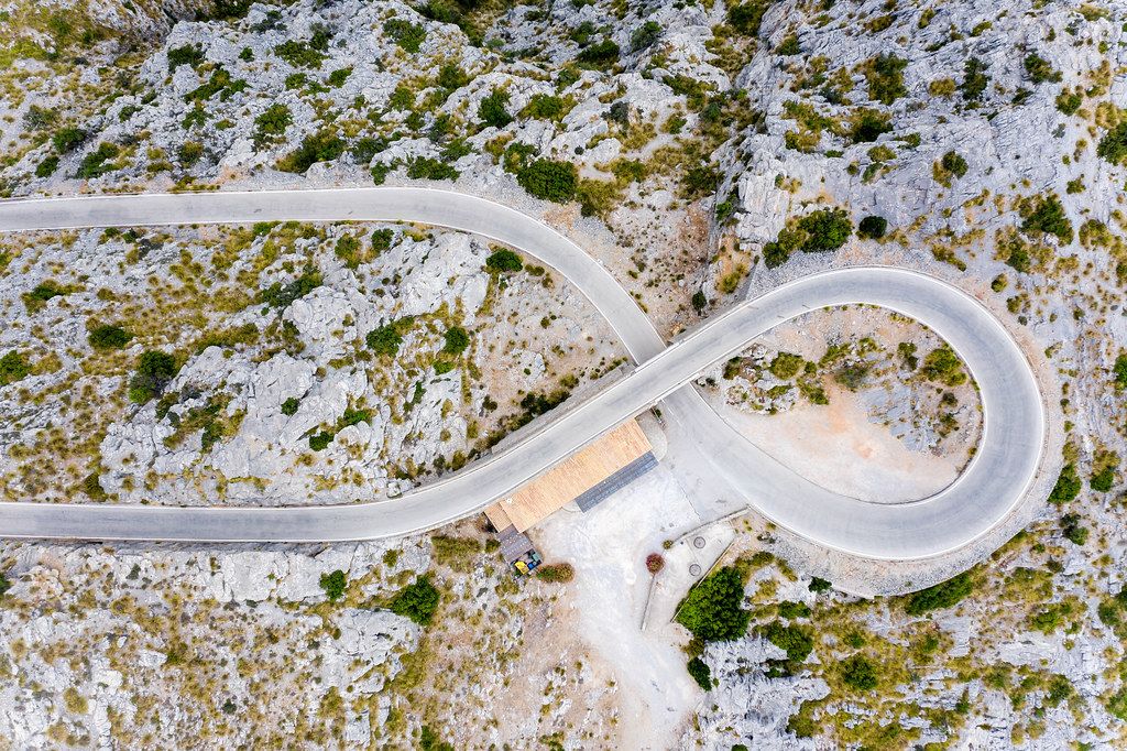
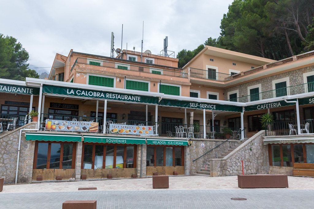
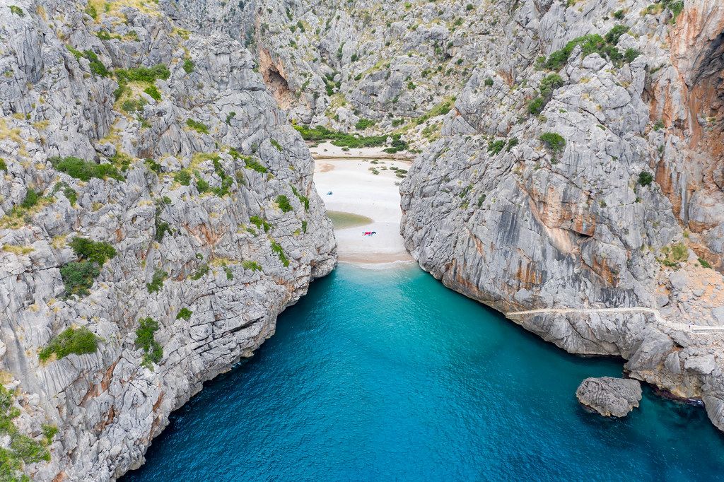
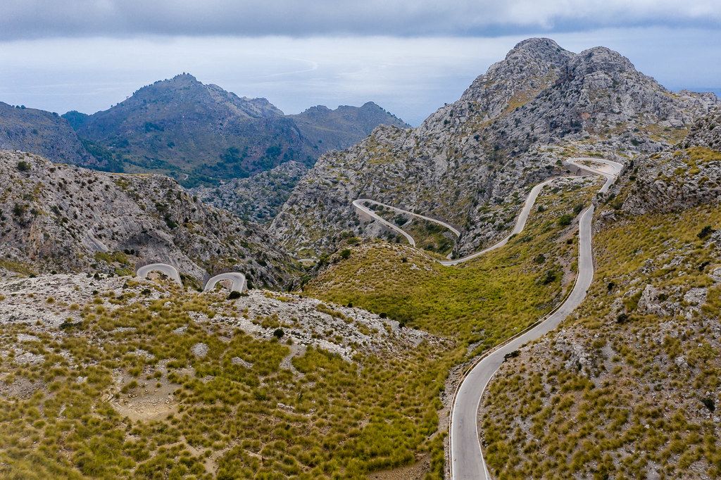
Scary road with many hairpin turns across the Serra de Tramuntana. Carretera de Sa Calobra, drone shotScary road with many hairpin turns across the Serra de Tramuntana. Carretera de Sa Calobra, drone shot One of the most famous serpentine roads in the world: Carretera de Sa Calobra, Majorca, aerial viewOne of the most famous serpentine roads in the world: Carretera de Sa Calobra, Majorca, aerial view Aerial view of empty road in the middle of scanty vegetation. Carretera de Sa Calobra on MajorcaAerial view of empty road in the middle of scanty vegetation. Carretera de Sa Calobra on Majorca Drone pic: Carretera de Sa Calobra across the Serra de Tramuntana: MajorcaDrone pic: Carretera de Sa Calobra across the Serra de Tramuntana: Majorca Drone photo: the last hairpin turns of the serpentine road leading to the Cap de Formentor lighthouseDrone photo: the last hairpin turns of the serpentine road leading to the Cap de Formentor lighthouse Drone shot of the snake road climbing up to the top of the rocky Cap de Formentor headland in MajorcaDrone shot of the snake road climbing up to the top of the rocky Cap de Formentor headland in Majorca Empty road across rocky mountains: drone photo of Carretera de Sa Calobra. A must-see on MallorcaEmpty road across rocky mountains: drone photo of Carretera de Sa Calobra. A must-see on Mallorca "The snake" or Sa Calobra Road - MA-2141: one of the most scenic drives in the world. Drone photo"The snake" or Sa Calobra Road - MA-2141: one of the most scenic drives in the world. Drone photo Low clouds over the rocky cliffs at Cap de Formentor, lighthouse and winding road. Aerial view in MajorcaLow clouds over the rocky cliffs at Cap de Formentor, lighthouse and winding road. Aerial view in Majorca Overhead drone pic of world-famous road curve: Nus de sa Corbata ("tie knot"), Sa Calobra, MallorcaOverhead drone pic of world-famous road curve: Nus de sa Corbata ("tie knot"), Sa Calobra, Mallorca La Calobra self-service restaurant and café in the village of Port de Sa Calobra, Majorca. Outside viewLa Calobra self-service restaurant and café in the village of Port de Sa Calobra, Majorca. Outside view Aerial photo of the Sa Calobra canyon formed by the Torrent de Pareis estuary. North coast of MajorcaAerial photo of the Sa Calobra canyon formed by the Torrent de Pareis estuary. North coast of Majorca Luftbild vom Nus de Sa Corbata (Krawattenknoten), Carretera de Sa Calobra (MA-2141) auf MallorcaLuftbild vom Nus de Sa Corbata (Krawattenknoten), Carretera de Sa Calobra (MA-2141) auf Mallorca Aerial view of road between field and forestAerial view of road between field and forest Eine der berühmtesten Serpentinenstraßen der Welt: Carretera de Sa Calobra, Mallorca, LuftaufnahmeEine der berühmtesten Serpentinenstraßen der Welt: Carretera de Sa Calobra, Mallorca, Luftaufnahme Mallorcas berühmteste Serpentinenstraße: Carretera de Sa Calobra in der Serra de Tramuntana. LuftbildMallorcas berühmteste Serpentinenstraße: Carretera de Sa Calobra in der Serra de Tramuntana. Luftbild Aerial view of autumn forest and straight roadAerial view of autumn forest and straight road Aerial view over green field and empty roadAerial view over green field and empty road Aerial view of green field and straight roadAerial view of green field and straight road Aerial view of country road in Tuscany, ItalyAerial view of country road in Tuscany, Italy