von Marco Verch unter Creative-Commons-Lizenz
31.(13)
30.(83)
29.(82)
28.(42)
27.(11)
26.(386)
25.(64)
24.(83)
23.(23)
22.(53)
18.(59)
08.(8)
06.(38)
05.(39)
02.(55)
1.039 Fotos aus Juli 2020 — Seite 10 von 21
 0
0
CC 2.0
Marco Verch
0
0
CC 2.0
Marco Verch
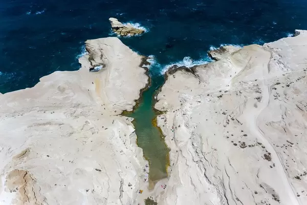
Drohnenaufnahme der Mondlandschaft Sarakiniko auf Milos
 0
0
CC 2.0
Marco Verch
0
0
CC 2.0
Marco Verch
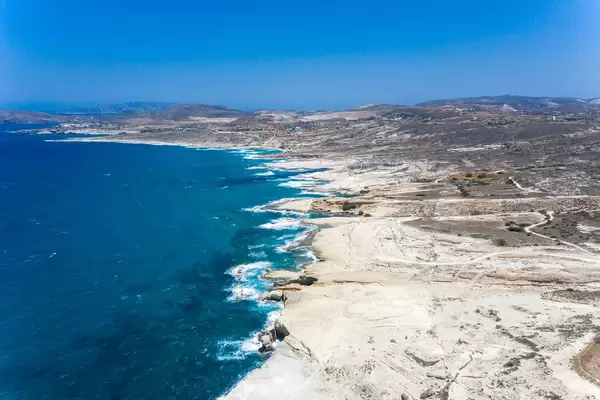
Wild rocky coastline of Milos island from above
 0
0
CC 2.0
Marco Verch
0
0
CC 2.0
Marco Verch
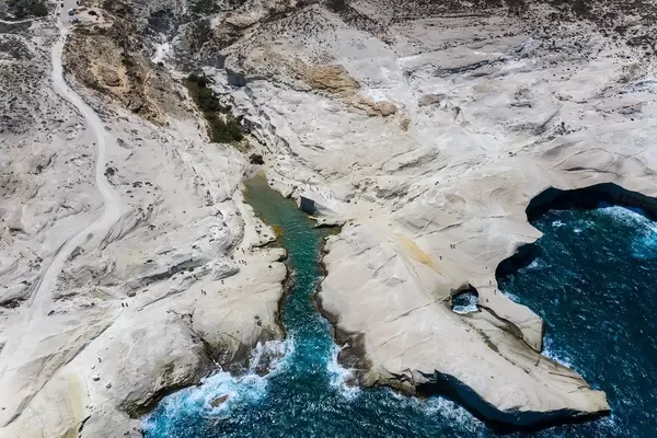
Drohnenblick auf weiße Klippen und Bucht auf Milos
 0
0
CC 2.0
Marco Verch
0
0
CC 2.0
Marco Verch
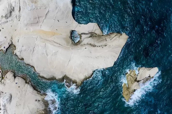
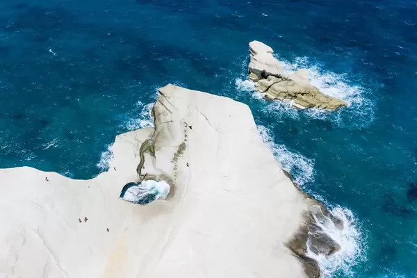
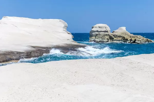
Aerial view of Sarakiniko white cliffs on Milos island
 0
0
CC 2.0
Marco Verch
0
0
CC 2.0
Marco Verch
Schmale Bucht mit Felsloch — Küstenluftbild von Milos
 0
0
CC 2.0
Marco Verch
0
0
CC 2.0
Marco Verch
Windswept rock arch at Sarakiniko beach on Milos
 0
0
CC 2.0
Marco Verch
0
0
CC 2.0
Marco Verch
Schmale Bucht in Sarakiniko auf der Insel Milos
 0
0
CC 2.0
Marco Verch
0
0
CC 2.0
Marco Verch
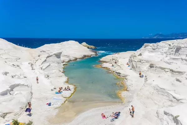
Aerial view of Sarakiniko Bay and turquoise waters of Milos
 0
0
CC 2.0
Marco Verch
0
0
CC 2.0
Marco Verch
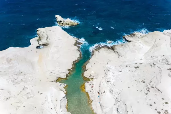
Drohnenblick auf Sarakiniko-Bucht der Insel Milos
 0
0
CC 2.0
Marco Verch
0
0
CC 2.0
Marco Verch
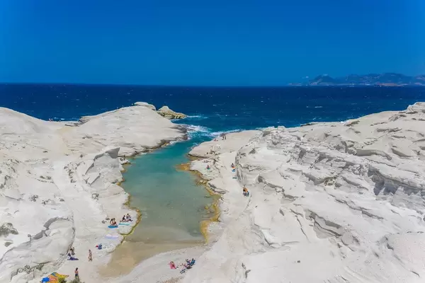
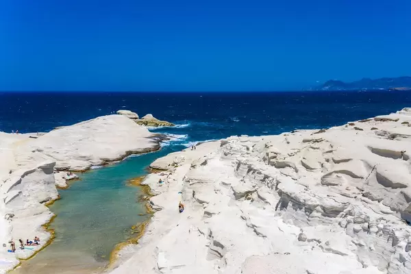
Luftaufnahme vom Strand Sarakiniko auf Milos
 0
0
CC 2.0
Marco Verch
0
0
CC 2.0
Marco Verch
White volcanic coast of Sarakiniko, Milos from above
 0
0
CC 2.0
Marco Verch
0
0
CC 2.0
Marco Verch
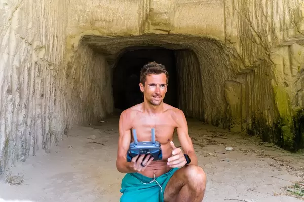
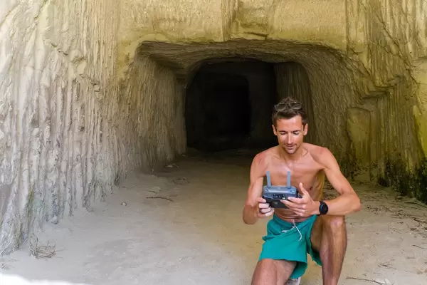
Drohnen-Controller am griechischen Strand im Urlaub
 0
0
CC 2.0
Marco Verch
0
0
CC 2.0
Marco Verch
Drone controller on a Greek beach during vacation
 0
0
CC 2.0
Marco Verch
0
0
CC 2.0
Marco Verch
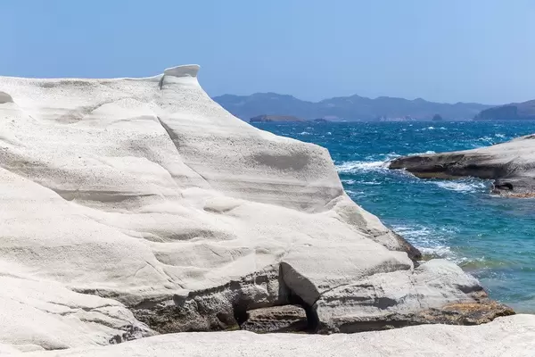
Weiße Vulkanklippen von Sarakiniko auf Milos
 0
0
CC 2.0
Marco Verch
0
0
CC 2.0
Marco Verch
Natural stone arch on the island of Milos, Greece
 0
0
CC 2.0
Marco Verch
0
0
CC 2.0
Marco Verch
Naturbogen an der Nordküste von Milos, Griechenland
 0
0
CC 2.0
Marco Verch
0
0
CC 2.0
Marco Verch
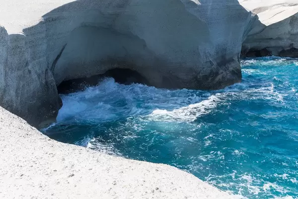
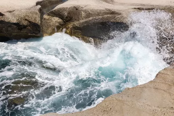
Waves crashing onto rocks at Sarakiniko on Milos
 0
0
CC 2.0
Marco Verch
0
0
CC 2.0
Marco Verch
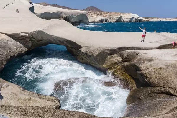
Two tourists explore rocky Aegean coastline of Milos
 0
0
CC 2.0
Marco Verch
0
0
CC 2.0
Marco Verch
Felsformationen von Sarakiniko an der Küste von Milos
 0
0
CC 2.0
Marco Verch
0
0
CC 2.0
Marco Verch
Rocky Coastline Meets Aegean Waves on Milos
 0
0
CC 2.0
Marco Verch
0
0
CC 2.0
Marco Verch
Einsamer Strand in der Bucht von Sarakiniko auf Milos
 0
0
CC 2.0
Marco Verch
0
0
CC 2.0
Marco Verch
Sarakiniko — felsige Küste der griechischen Insel Milos
 0
0
CC 2.0
Marco Verch
0
0
CC 2.0
Marco Verch
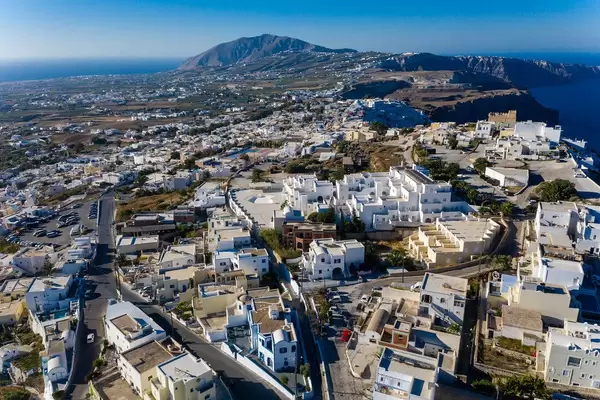
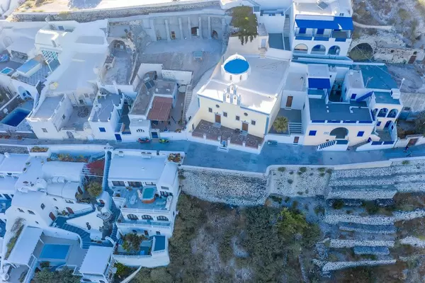
Firá auf Santorini — Vogelperspektive auf weiße Häuser
 0
0
CC 2.0
Marco Verch
0
0
CC 2.0
Marco Verch
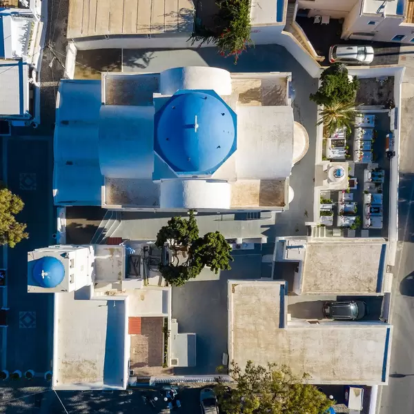
Greek blue-domed church with bell tower from above
 0
0
CC 2.0
Marco Verch
0
0
CC 2.0
Marco Verch
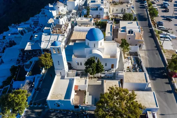
Kirche mit blauer Kuppel und Glockenturm auf Santorin
 0
0
CC 2.0
Marco Verch
0
0
CC 2.0
Marco Verch
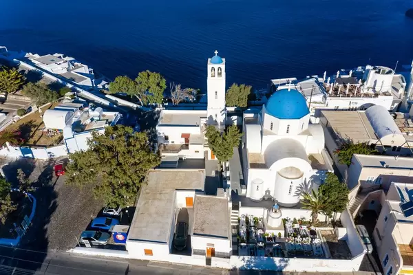
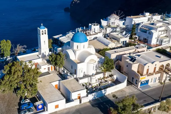
Weiße Kirche mit blauen Kuppeln und Friedhof auf Santorin
 0
0
CC 2.0
Marco Verch
0
0
CC 2.0
Marco Verch
White Santorini church with blue domes from above
 0
0
CC 2.0
Marco Verch
0
0
CC 2.0
Marco Verch
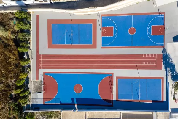
Santorini, drone shot. Sports grounds with no people
 0
0
CC 2.0
Marco Verch
0
0
CC 2.0
Marco Verch
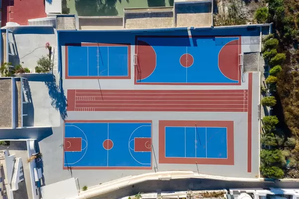
Leere Sportanlage in Blau-Rot auf Santorin — Drohne
 0
0
CC 2.0
Marco Verch
0
0
CC 2.0
Marco Verch
Santorin von oben: Hafen und Altstadt von Firá
 0
0
CC 2.0
Marco Verch
0
0
CC 2.0
Marco Verch
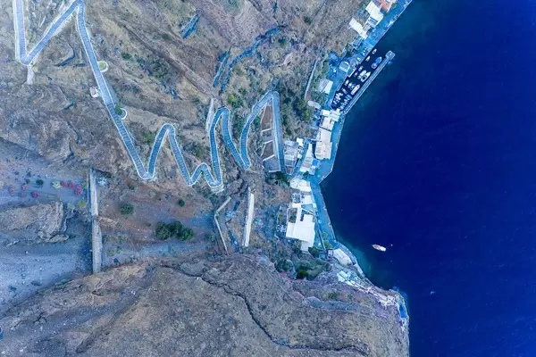
Santorini from above — Firá's port and clifftop pathway
 0
0
CC 2.0
Marco Verch
0
0
CC 2.0
Marco Verch
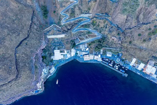
Drone view of Santorini's port Firá with winding footpath
 0
0
CC 2.0
Marco Verch
0
0
CC 2.0
Marco Verch
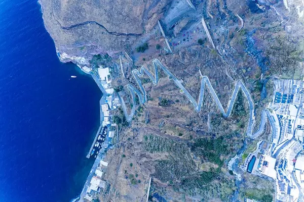
Hafen Firás mit steilem Fußweg zur Stadt — Drohne
 0
0
CC 2.0
Marco Verch
0
0
CC 2.0
Marco Verch
Santorini from above: white and blue rooftops of Firá
 0
0
CC 2.0
Marco Verch
0
0
CC 2.0
Marco Verch
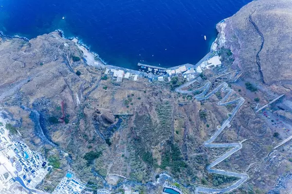
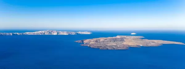
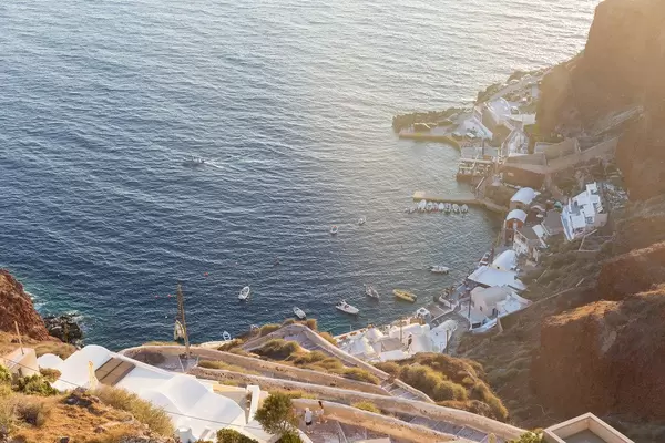
Nea Kameni und Akrotiri in der Ägäis — Drohne
 0
0
CC 2.0
Marco Verch
0
0
CC 2.0
Marco Verch
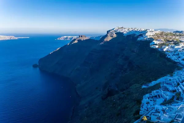
Aerial view of Santorini cliffs and capital Firá at dusk
 0
0
CC 2.0
Marco Verch
0
0
CC 2.0
Marco Verch
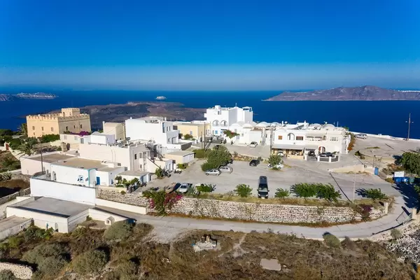
Luftaufnahme von Firá — Santorinis Hauptstadt von oben
 0
0
CC 2.0
Marco Verch
0
0
CC 2.0
Marco Verch
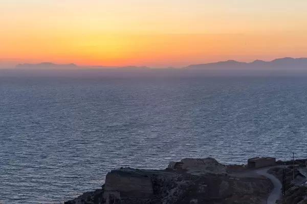
Berühmter Sonnenuntergang über der Ägäis bei Santorin
 0
0
CC 2.0
Marco Verch
0
0
CC 2.0
Marco Verch
Touristen beobachten den Sonnenuntergang auf Oias Terrassen
 0
0
CC 2.0
Marco Verch
0
0
CC 2.0
Marco Verch
Sunset over Aegean Sea and White Houses of Oia
 0
0
CC 2.0
Marco Verch
0
0
CC 2.0
Marco Verch
Goldener Sonnenuntergang über Santorin am Abend
 0
0
CC 2.0
Marco Verch
0
0
CC 2.0
Marco Verch
Berühmter Sonnenuntergang über den Dächern von Santorini
 0
0
CC 2.0
Marco Verch
0
0
CC 2.0
Marco Verch
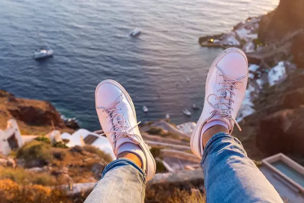
Beine baumeln über Klippe mit Meerblick in Griechenland
 0
0
CC 2.0
Marco Verch
0
0
CC 2.0
Marco Verch
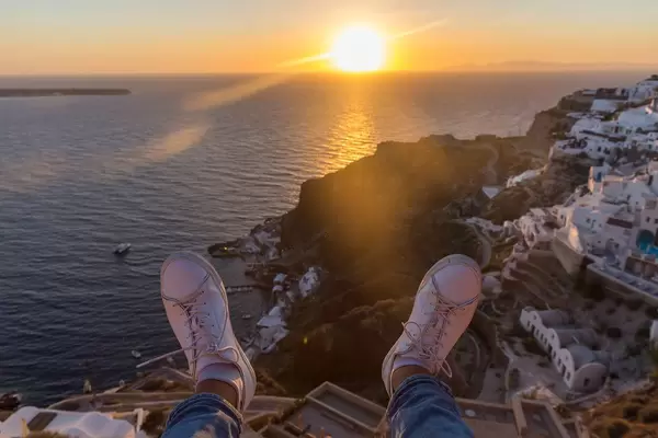
Männerfüße beim Sonnenuntergang mit Blick auf Santorin
 0
0
CC 2.0
Marco Verch
0
0
CC 2.0
Marco Verch
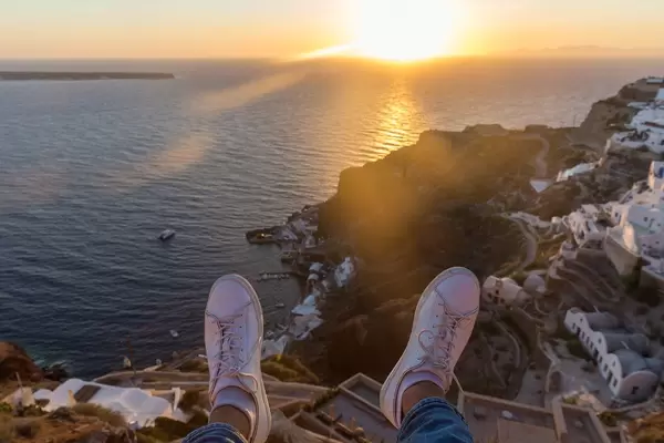
Man watching the Santorini sunset from above
 0
0
CC 2.0
Marco Verch
0
0
CC 2.0
Marco Verch
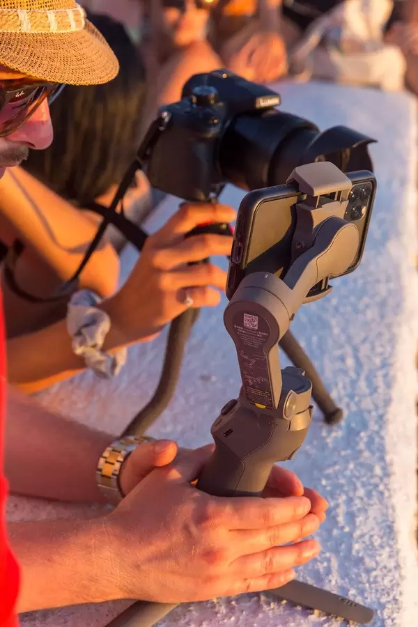
Tourists photographing the sunset in Santorini at golden hour
 0
0
CC 2.0
Marco Verch
0
0
CC 2.0
Marco Verch
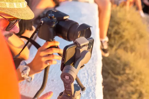
Santorin-Sonnenuntergang — fotografiert mit Smartphone
 0
0
CC 2.0
Marco Verch
0
0
CC 2.0
Marco Verch
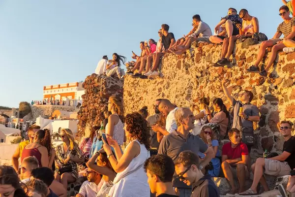
Santorini: Menschenmenge beobachtet den Sonnenuntergang
 0
0
CC 2.0
Marco Verch
0
0
CC 2.0
Marco Verch
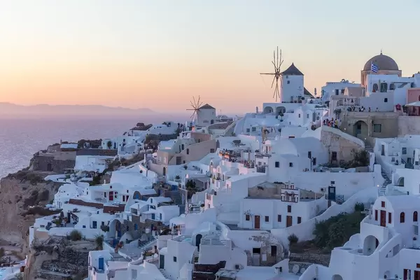
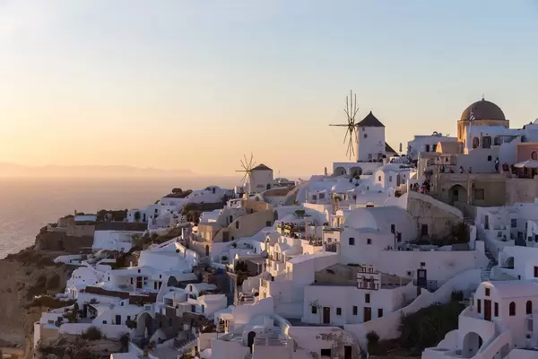
White houses and windmills of Oia, Santorini at sunset
 0
0
CC 2.0
Marco Verch
0
0
CC 2.0
Marco Verch
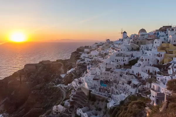
Malerisches Dorf Oia auf Santorin beim Sonnenuntergang
 0
0
CC 2.0
Marco Verch
0
0
CC 2.0
Marco Verch
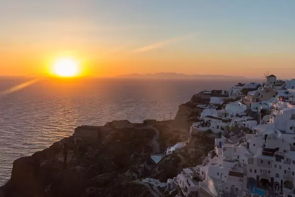
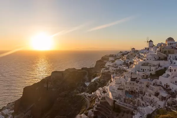
Santorini from above: pier, cliffs and sea at sunset