von Marco Verch unter Creative-Commons-Lizenz
Aerial view of charming village Deià on Majorca's coast
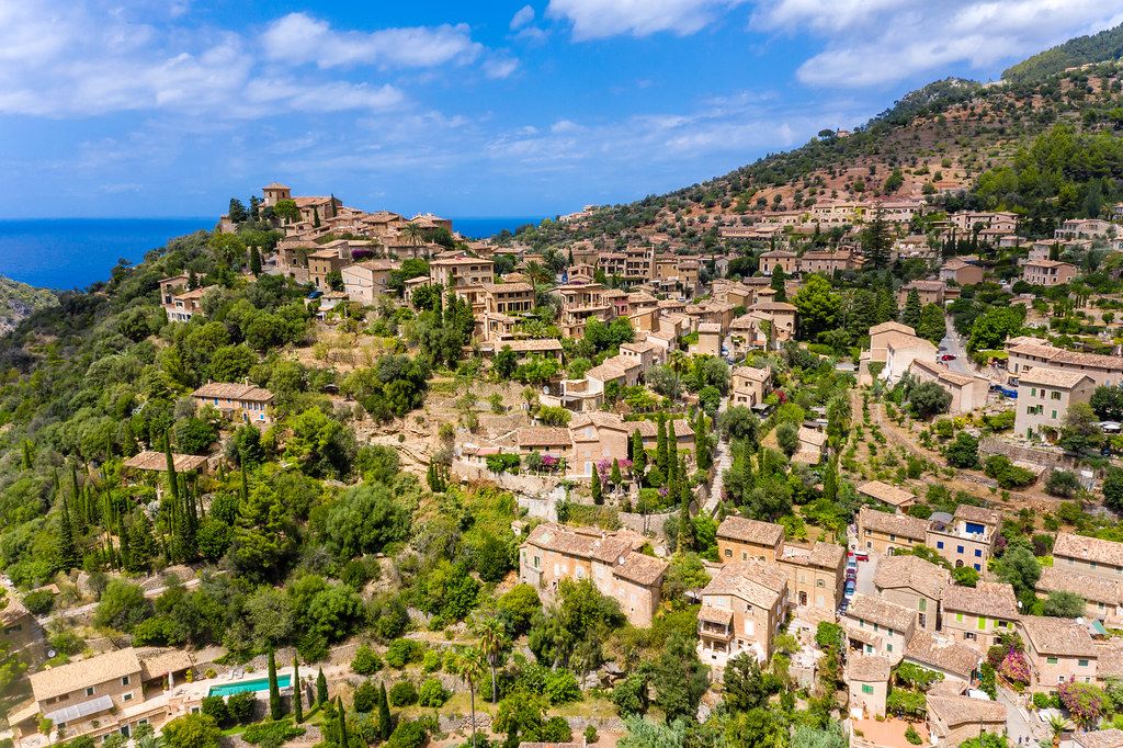
Aerial view of charming village Deià on Majorca's coast von Marco Verch unter Creative Commons 2.0
Dieses Bild kann bei sichtbarer Nennung von Urheber und Quelle kostenlos verwendet werden. Anfrage für eine Nutzung außerhalb der Lizenz.
Das Foto zeigt eine malerische Berglandschaft mit einem traditionellen Dorf im Mittelmeerraum. Die Gebäude sind aus Stein gebaut und in warmen Erdtönen gehalten, die sich harmonisch in die grüne Vegetation und die azurblauen Weiten des Meeres einfügen. Die Perspektive lässt den Betrachter einen Überblick über die idyllische Szenerie gewinnen, die von Pinien und Zypressen gesäumt wird.
Dieses hochauflösende Stockfoto eignet sich hervorragend für die Verwendung in Blogs, Newslettern oder Social-Media-Beiträgen, die einen mediterranen, traditionellen oder naturnahen Charakter vermitteln möchten. Mit seiner stimmungsvollen Farbpalette und der gelungenen Komposition kann es kostenlos unter einer Creative-Commons-Lizenz heruntergeladen und vielfältig eingesetzt werden.
Informationen zum Bild und Creative Commons Lizenz
| Original-Titel | Drone photo of the charming village of Deià on a hill by the sea in the Serra de Tramuntana on Majorca |
| Fotograf | Marco Verch |
| Veröffentlicht | 11.08.2020 |
| Lizenz | Creative Commons 2.0 |
| Aufrufe | 2 |
| Downloads | 0 |