von Marco Verch unter Creative-Commons-Lizenz
Drone shot of Sa Calobra's winding mountain road
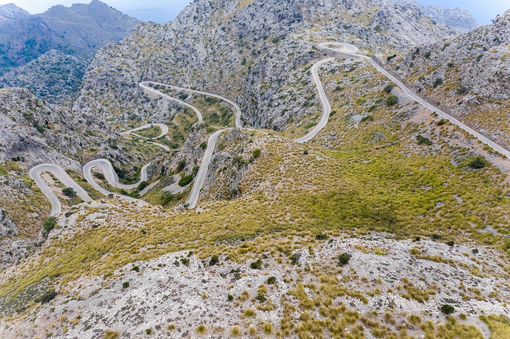
Drone shot of Sa Calobra's winding mountain road von Marco Verch unter Creative Commons 2.0
Dieses Bild kann bei sichtbarer Nennung von Urheber und Quelle kostenlos verwendet werden. Anfrage für eine Nutzung außerhalb der Lizenz.
Das Foto zeigt eine spektakuläre Draufsicht auf eine Bergstraße mit zahlreichen Serpentinen und Kurven, die sich durch eine raue, felsige Landschaft schlängeln. Die Straße windet sich durch ein Gebirge mit markanten Gipfeln und Kämmen, die in der Ferne vor einem klaren Himmel sichtbar sind. Die Farbpalette ist von Braun-, Gelb- und Grüntönen geprägt, die die natürliche Umgebung widerspiegeln.
Dieses kostenlose Stockfoto in hoher Auflösung eignet sich hervorragend für Blogs, Newsletter, Social-Media-Beiträge und Werbematerialien, bei denen eine beeindruckende, landschaftliche Kulisse benötigt wird. Die eindrucksvolle Perspektive und die detailreiche Darstellung der Bergstraße lassen den Betrachter in die Weite der Natur eintauchen. Das Foto steht unter einer Creative-Commons-Lizenz und kann kostenfrei heruntergeladen werden.
Informationen zum Bild und Creative Commons Lizenz
| Original-Titel | Scary road with many hairpin turns across the Serra de Tramuntana. Carretera de Sa Calobra, drone shot |
| Fotograf | Marco Verch |
| Veröffentlicht | 11.08.2020 |
| Lizenz | Creative Commons 2.0 |
| Aufrufe | 5 |
| Downloads | 1 |