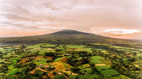
von Marco Verch unter Creative-Commons-Lizenz
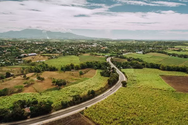
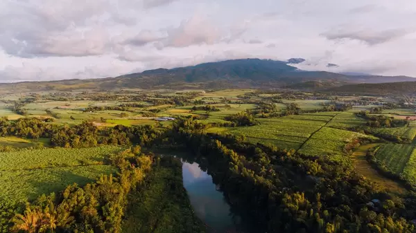
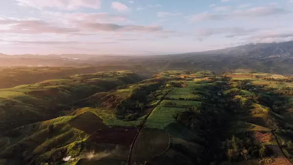
Aerial photo of sugarcane fields in Sagay
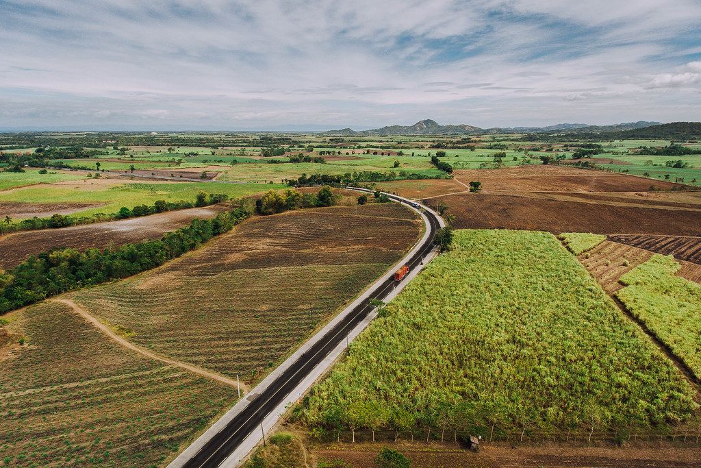
Aerial photo of sugarcane fields in Sagay von Marco Verch unter Creative Commons 2.0
Dieses Bild kann bei sichtbarer Nennung von Urheber und Quelle kostenlos verwendet werden. Anfrage für eine Nutzung außerhalb der Lizenz.
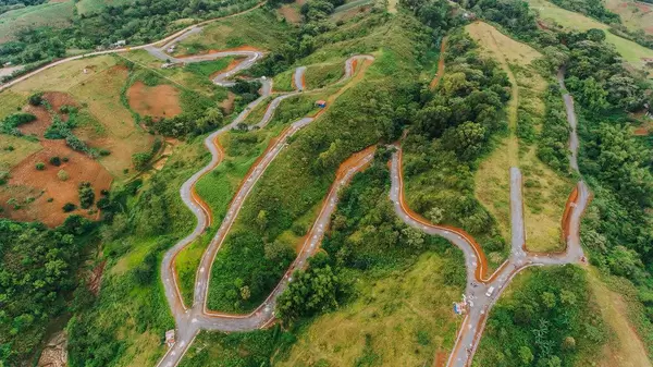
Das Bild zeigt eine malerische Landschaft mit sanft geschwungenen Hügeln, grünen Feldern und einer kurvenreichen Straße, die sich durch die Szenerie schlängelt. Die Draufsicht-Perspektive bietet einen beeindruckenden Überblick über dieses ländliche Idyll, das in warmen Erdtönen und einem Farbspiel von Grün und Braun gehalten ist.
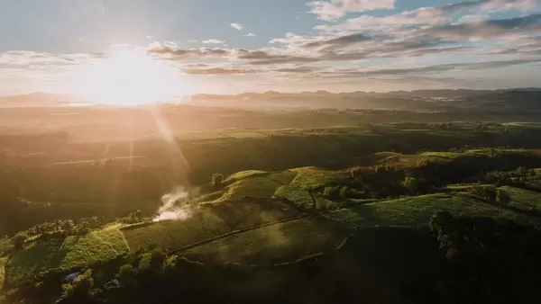
Dieses hochwertige Stockfoto eignet sich hervorragend für den Einsatz in Blogbeiträgen, Newslettern oder Social-Media-Kampagnen, die sich um Themen wie Landwirtschaft, Nachhaltigkeit, Reisen oder die Schönheit der Natur drehen. Die hohe Auflösung und ansprechende Komposition machen das Bild zu einem nützlichen und kostenlos verfügbaren Bildmaterial, das unter der Creative-Commons-Lizenz genutzt werden kann.
Durch die detailreiche Darstellung der Landschaft und der kurvenreichen Straße vermittelt das Foto ein Gefühl von Weite und Entspannung, das die Betrachter in seinen Bann ziehen kann. Es eignet sich daher perfekt für den Einsatz in Werbeanzeigen, Reisebroschüren oder Imagefilmen, die die Schönheit und den Charme ländlicher Regionen hervorheben möchten.
Informationen zum Bild und Creative Commons Lizenz
| Fotograf | Marco Verch |
| Veröffentlicht | 13.04.2019 |
| Lizenz | Creative Commons 2.0 |
| Aufrufe | 5 |
| Downloads | 0 |
Ähnliche Bilder zu Negrosoccidental & Droneshot kostenlos herunterladen