von Marco Verch unter Creative-Commons-Lizenz
Peristera shipwreck near Alonnisos from above by drone
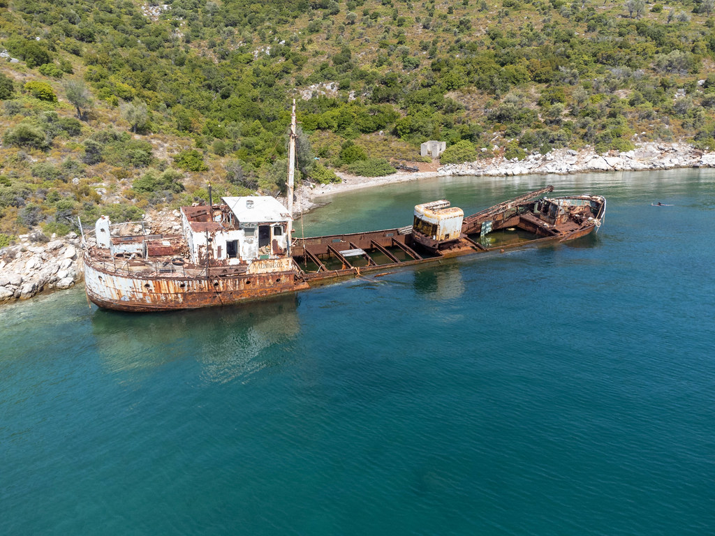
Peristera shipwreck near Alonnisos from above by drone von Marco Verch unter Creative Commons 2.0
Dieses Bild kann bei sichtbarer Nennung von Urheber und Quelle kostenlos verwendet werden. Anfrage für eine Nutzung außerhalb der Lizenz.
Das Foto zeigt ein verlassenes Schiffswrack, das in einer malerischen Bucht auf dem Wasser treibt. Die Perspektive ist eine Draufsicht, die den Betrachter über dem Wrack schweben lässt und einen umfassenden Blick auf die Details ermöglicht. Die Farbpalette des Bildes ist hauptsächlich in Grün- und Brauntönen gehalten, was eine natürliche und ruhige Atmosphäre schafft.
Das Foto ist technisch hochwertig und in hoher Auflösung aufgenommen, was es für eine Vielzahl von Verwendungszwecken geeignet macht. Es eignet sich hervorragend für den Einsatz in Blogs, Newslettern, sozialen Medien oder Werbematerialien, die eine einzigartige und faszinierende Darstellung einer verlassenen Landschaft suchen. Dieses kostenlose Stockfoto ist unter einer Creative-Commons-Lizenz verfügbar und kann kostenfrei heruntergeladen werden.
Informationen zum Bild und Creative Commons Lizenz
| Original-Titel | Drone photo of the Peristera shipwreck at the north of Kokkalia bay on the islet east of Alonnisos |
| Fotograf | Marco Verch |
| Veröffentlicht | 02.08.2021 |
| Lizenz | Creative Commons 2.0 |
| Aufrufe | 3 |
| Downloads | 0 |