von Marco Verch unter Creative-Commons-Lizenz
Steep cliffs of Cap de Formentor in Mallorca aerial
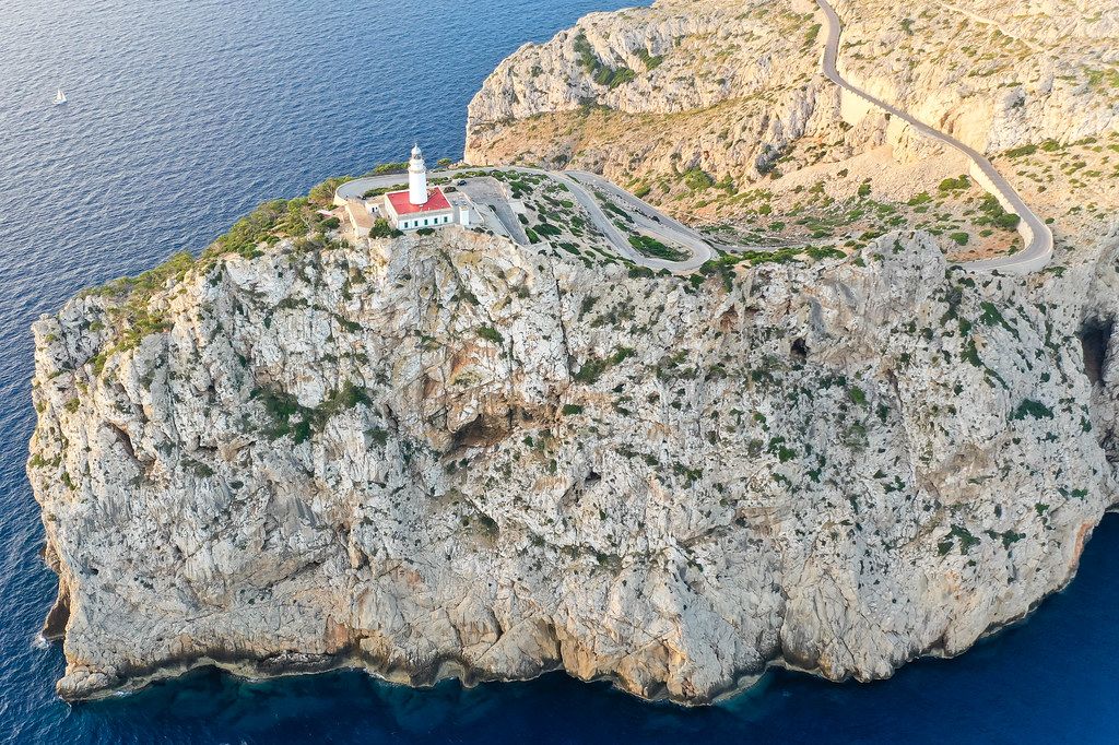
Steep cliffs of Cap de Formentor in Mallorca aerial von Marco Verch unter Creative Commons 2.0
Dieses Bild kann bei sichtbarer Nennung von Urheber und Quelle kostenlos verwendet werden. Anfrage für eine Nutzung außerhalb der Lizenz.
Das Bild zeigt eine beeindruckende Luftaufnahme eines felsigen Kaps an der Küste. Der rote Leuchtturm ragt aus der zerklüfteten Landschaft hervor und bietet einen atemberaubenden Blick auf das türkisfarbene Meer. Die Straße, die sich um den Felsen windet, verleiht dem Bild eine zusätzliche Dimension und lässt es fast wie eine surreale Szene erscheinen.
Technisch gesehen ist das Foto in einer hohen Auflösung aufgenommen worden, sodass es sich für eine Vielzahl von Verwendungszwecken eignet, wie etwa für Blogs, Newsletter, Social-Media-Posts oder Werbematerial. Die kräftigen Farben und die einzigartige Perspektive machen dieses kostenloses Stockfoto zu einem echten Hingucker.
Dieses Bild ist unter einer Creative-Commons-Lizenz verfügbar und kann somit kostenlos heruntergeladen und für verschiedene Projekte genutzt werden. Es ist ein perfektes Beispiel dafür, wie Naturaufnahmen einen Mehrwert für Ihre digitalen Inhalte schaffen können.
Informationen zum Bild und Creative Commons Lizenz
| Original-Titel | Drone pic. The steep cliffs of the northernmost tip of the Balearic islands: Cap de Formentor in Mallorca |
| Fotograf | Marco Verch |
| Veröffentlicht | 11.08.2020 |
| Lizenz | Creative Commons 2.0 |
| Aufrufe | 2 |
| Downloads | 0 |