von Marco Verch unter Creative-Commons-Lizenz
Hidden red-cliff beach at Kokkinokastro from above
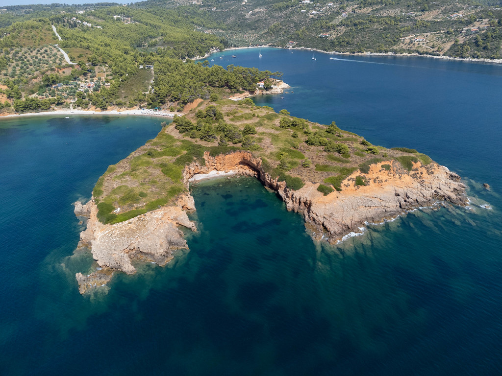
Hidden red-cliff beach at Kokkinokastro from above von Marco Verch unter Creative Commons 2.0
Dieses Bild kann bei sichtbarer Nennung von Urheber und Quelle kostenlos verwendet werden. Anfrage für eine Nutzung außerhalb der Lizenz.
Das Foto zeigt eine malerische Bucht an der Küste, eingebettet in eine hügelige, bewaldete Landschaft. Der Blickwinkel aus der Luft bietet einen beeindruckenden Überblick über die sanft geschwungenen Formen der Felsen, die in das tiefblaue Wasser ragen. Die Vegetation in den Grüntönen und das kristallklare Meer verleihen der Szene eine natürliche Schönheit.
Technisch betrachtet handelt es sich um eine hochaufgelöste Draufsicht-Aufnahme, die eine harmonische Farbpalette aus Blau-, Grün- und Erdtönen präsentiert. Die Komposition des Bildes lenkt den Blick des Betrachters auf die dramatischen Felsformationen und die malerische Bucht, die den Mittelpunkt der Aufnahme bilden.
Dieses kostenlose Stockfoto eignet sich hervorragend für den Einsatz in Blogs, Newslettern, Social-Media-Kanälen oder auch für werbliche Zwecke. Die hohe Auflösung und die Lizenzierung unter Creative Commons ermöglichen eine vielseitige Verwendung des Motivs ohne Einschränkungen. Perfekt, um Ihre Inhalte mit stimmungsvollen Landschaftsaufnahmen aufzuwerten und Ihren Lesern ein Gefühl von Erholung und Naturverbundenheit zu vermitteln.
Informationen zum Bild und Creative Commons Lizenz
| Original-Titel | Hidden beach with red cliffs formed by the headland of Kokkinokastro seen from the sea with a drone |
| Fotograf | Marco Verch |
| Veröffentlicht | 01.08.2021 |
| Lizenz | Creative Commons 2.0 |
| Aufrufe | 8 |
| Downloads | 0 |